

What is GeoNode?
“GeoNode is a geospatial content management system that functions as an out-of-the-box, fully featured, spatial data infrastructure, or SDI”
It supports multiple basic content types, including documents and GIS layers of various formats including shapefile, GeoTiff, CSV and KML. GIS layers and documents can be stored with their associated metadata in a discoverable format, and GIS layers may be individually styled, viewed and downloaded by users with the relevant permissions.
Layers may be combined in a composite content type called a Map which allows interactive data representation along with spatial analysis tools. GeoNode supports public content publishing but also utilises authentication and access control permissions to ensure that access to content is restricted based on the configured user and group settings. GeoNode includes tools for configuring and sharing content via a variety of communication channels including integration with various popular social networks. GeoNode provides web service endpoints for all relevant content and also serves as a metadata clearinghouse.
GeoNode is an Open Source platform built with Open Source tools and is based on the Django web application framework, written in the python language. The backend services required for GeoNode to function correctly include a database (PostgreSQL with the PostGIS spatial extension) and an OGC standards compliant mapserver, such as Geoserver.
Being an Open Source platform allows GeoNode to be modified and integrated with other software applications and platforms as required.
You try:
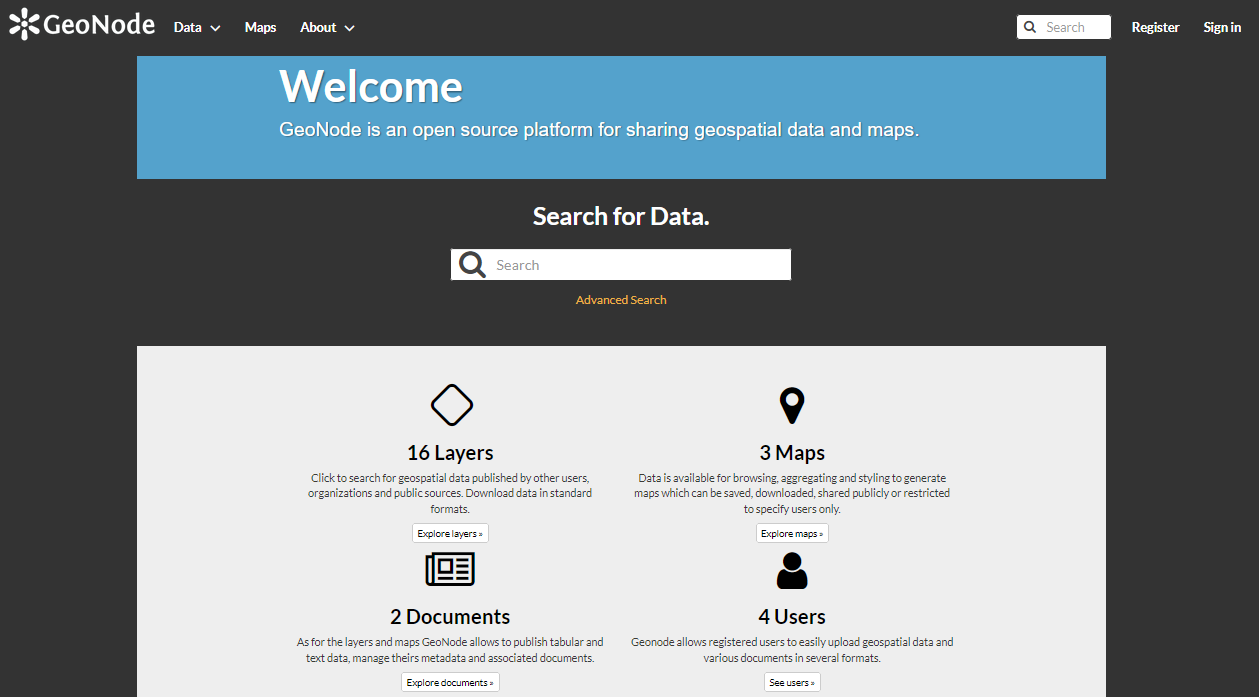
Goal: To explore the GeoNode user interface
- Navigate to a relevant GeoNode instance.
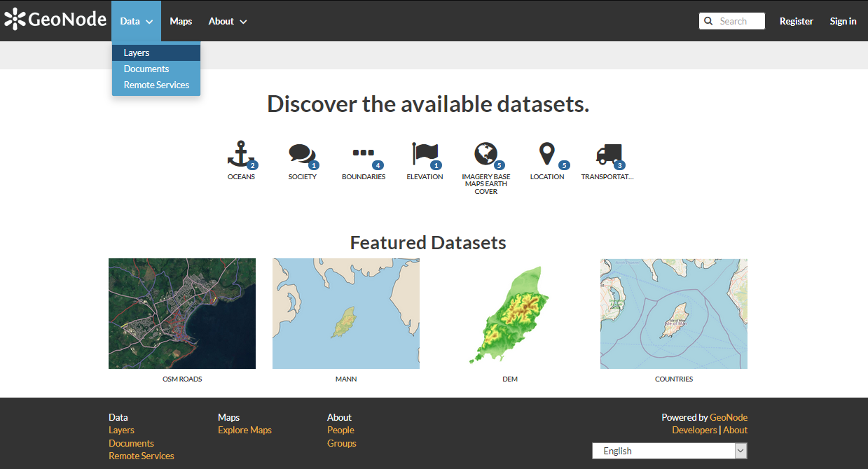
- Explore the Data Menu and its sub-menus. Click your way around the various pages that are listed under these menus.
- Explore the Maps Menu and its sub-menus. Click your way around the various pages that are listed under these menus.
- Explore the About Menu and its sub-menus. Click your way around the various pages that are listed under these menus.
Check your results
Are you able to interact with all the pages available?
If you are unable to interact with a specific page, could you identify the primary reasons as to why your attempted interactions failed?
Are you able to register and login to the site using the provided self-service portal?
If you have managed to log in, what are the key differences between accessing the pages when logged in versus when not logged in?
GeoNode functionality
GeoNode provides a number of core features, as outlined in the sections below.
Data discovery
- Powerful spatial search engine
- Federated OGC services
- Metadata catalogue
Data management
- Publish raster, vector, and tabular data
- Manage metadata and associated documents
- Securely or publicly share data
Interactive mapping
- Create multi-layer interactive maps
- Share and embed maps in web pages
- SLD (styled layer descriptor) support - SLD is a cross-platform styling language used for defining geodata symbology.
- A graphical user interface (GUI) for the configuration of map layer styles.
- MapStore client for creating maps and other visualizations (Map Widgets, annotations etc)
- GeoServer GUI application which provides access to the configuration of advanced functionality, such as the caching of vector layers or generation of raster tiles.
As all of the components within the application stack are Free and Open Source Software (FOSS), strong support for service and data interoperability is included within the application architecture by default. This ensures that GeoNode is extensible and may be tailored to fit a range of operational needs.

Check your knowledge:
-
What is GeoNode:
- A web based GIS
- A spatial data management system and publishing platform
- A full stack open source GIS application and database
-
What functionality does GeoNode provide:
- Data storage and metadata management
- Access control and permissions management
- An ecommerce interface for digital geospatial products
- Answer a. and Answer b.
- Answer b. and Answer c.

Further reading:
-
Geo-Solutions training guides http://training.geonode.geo-solutions.it/
-
UN WFP GeoNode training https://geonode.wfp.org/trainings/4/
-
Kartoza Demo for GeoNode with QGIS server http://geonode.kartoza.com
-
View the GeoNode Website https://geonode.org