

Sources of Hazard data – Field Mapping
“There is also merit in using field mapping techniques to create hazard datasets.”
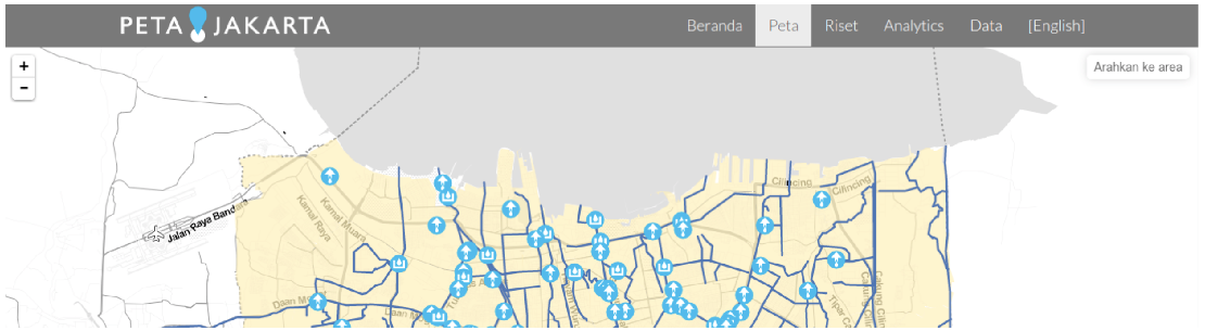
Field or desktop mapping is often the most practical way to gather data for some hazards fast (such as floods). One approach that has been effective in Indonesia is to hold mapping workshops where village chiefs / local officials are invited. The officials are asked to indicate which wards / sub-wards within their responsibility area, flooded regularly. When wards are vulnerable to floods.
Instead of simply mapping which wards are flooded, it is also possible to take another approach and map per event, using the same boundaries (wards or subwards). During the event a help desk environment can be used to call out to an official from each ward and query the status of the flood waters in their ward. This approach can also be used via a website (if internet accessibility permits) or by using social media such as twitter.
You try:
Goal: To understand the role of observed flood hazard data in InaSAFE
Form small groups and discuss the advantages and disadvantages of observed hazard data (for hazards that are relevant to you) using the example on the requirements table.
Some things to consider:
- are there some hazards more suited to observation based mapping than others?
- are there obvious advantages to using a observations for hazard data?
- are there obvious disadvantages to using a observations for hazard data?
Check your results:
Report your ideas back to the group. Were there any concerns or opportunities raised that your group did not think of?
| Name | Expectation |
|---|---|
Example: |
Observed earthquakes |
Accuracy |
Mapping will probably be at local administrative unit level. |
Advantages |
Might better reflect the experienced effects of the event rather than just the predicted effects. |
Disadvantages |
Post disaster mapping may consume valuable time needed for response activities. Pre-disaster mapping is difficult to do due to the variable nature of earthquake epicenters. |
Production speed |
Mapping post disaster will likely take considerably more time than using a model. |
More about
A key requirement for these local knowledge based processes is that there are suitable mapping units available to use for deciding if an area is likely to be affected or not. In some cases participants may need to capture these, in other cases ward or sub-ward boundaries can be used. Using sub-ward boundaries may not always be ideal since the hazard extents most likely do not align well with these boundaries, but it may be sufficient for broad planning purposes.
Some hazards (e.g. pyroclastic lava flow from volcanoes) may be easier to map before events since there may be historic references available. Other events are more stochastic (e.g. localised torrential rainfall or earthquake epicenters) and may thus be more difficult to map pre-disaster. Post-disaster mapping of these areas using field mapping techniques can still be useful though.
In many cases, hazard mapping is best left to the experts. You should consult your government agencies to see if credible hazard data are available in your area of interest before attempting to capture your own hazard data.

Check your knowledge:
-
Indicate which of these hazards would be a good candidate for observed mapping?:
- flood
- earthquake
- chemical spills

Further reading:
-
See the Humanitarian OpenStreetMap Team (HOT) web site for some examples of mapping projects https://www.hotosm.org