

Georeferencing in Context
“Georeferencing is the process of assigning real world coordinates to a map so that it draws in its actual geographic position”
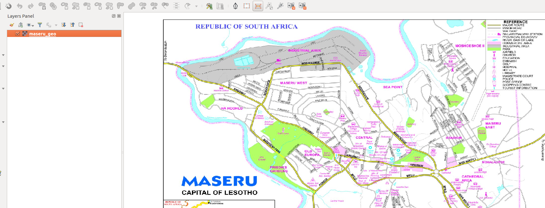
In this module, we will learn how to georeference old scanned maps in QGIS. The maps are usually old topographic sheets or maps which are scanned to be used in a GIS or any other raster layer that have no geographic information. You cannot overlay other layers with a raster that has not been georeferenced.
You try:
Goal: To learn how to georeference a scanned map. This will enable overlay with other existing layers in the same CRS or different CRS
- Add vector layer from natural earth data. Add a roads/building layers to use as a reference. Lesotho is a country surrounded by South Africa
- Enable on the fly projection
- Activate georeference from plugins
- Open the raster and specify the CRS for the layer
- Digitize the raster and choose adequate control points and ensure the residuals are as low as possible
Check your results:
Once you have finished georeferencing export the raster and it should overlay the layers loaded in QGIS
| Name | Expectation |
|---|---|
CRS |
4326 |
Reference Layer |
Vector from natural earth |
RasterOperation |
Georeferencing |
Operation |
On the fly projection |
RasterOperation |
Lesotho.jpg |
More about
It is important to understand that when you georeference a map you should use the CRS of the original map (if you know it). Georeferencing, when done correctly, will enable layers with different projections to be overlain together when on the fly projection is activated.

Check your knowledge:
-
Georeferencing flows us to:
- Assign real world coordinates to a map
- Enable map layers to be overlaid together once a raster image has been georeferenced.
- Only raster layers can be georeferenced

Further reading:
-
ordnancesurvey.co.uk: https://www.ordnancesurvey.co.uk/support/understanding-gis/georeferencing.html
-
qgistutorials.com: http://www.qgistutorials.com/en/docs/advanced_georeferencing.html
Download the sample data for the lesson.